OBXPhotos! and trip description.
Nov. 7th, 2010 10:10 pmThis trip had a few firsts for me. I believe it was my first solo motorcycle trip that wasn't visiting family. First time over a draw bridge, and the draw span happened to be open grate, too (not the most fun on a motorcycle - causes a handling effect.) That was a span across an inland bay called East Lake, though. Longest bridge for me at 5.2 miles (Virginia Dare Memorial.) First time on a ferry with my motorcycle as well, which I did twice. There was also a lovely bit on US 64 well inland of riding through white fluff dancing around the pavement - spilled, recently harvested cotton that was on the road - and fields of peanuts dug-up for harvest. Finally, my first time climbing a lighthouse.
It's worth nothing at this point that unlike many islands, these islands are simply large piles of sand, gradually moved by the wind and water. Cape Hatteras, for example, is gradually moved to the south-west.
Finally, I didn't take the trailer, though I did use the trailer hitch with the small rack and the cooler so I could have water with me. I took my tripod, having strapped it down to the passenger grab handles and across the pillion seat.
Click the thumbnails to view larger.
Friday:
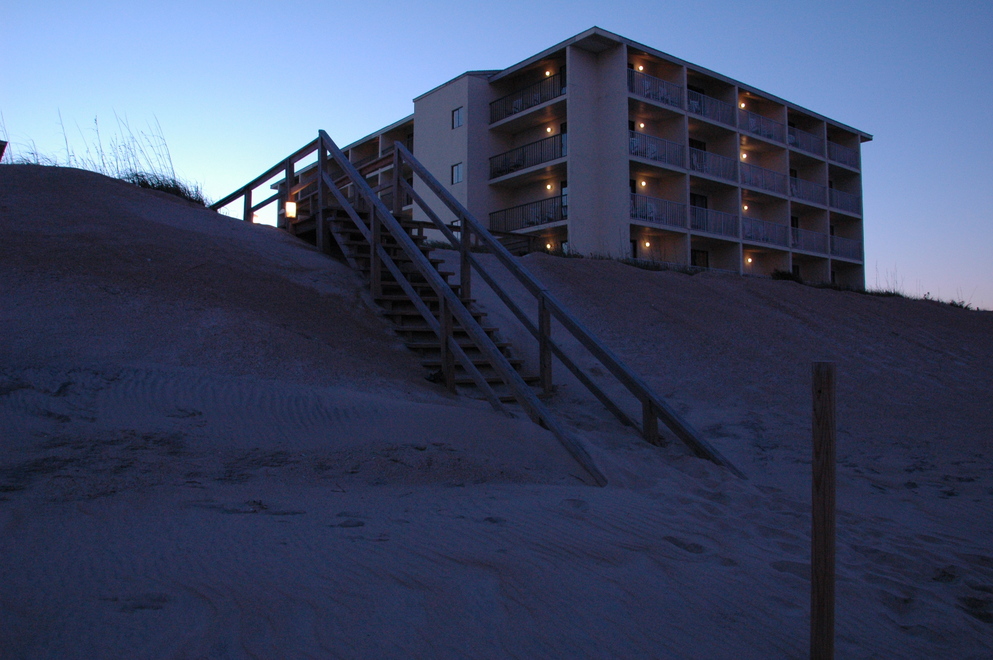
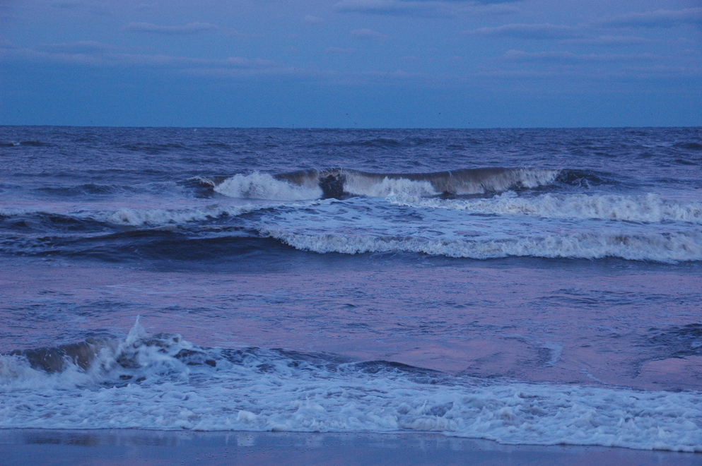
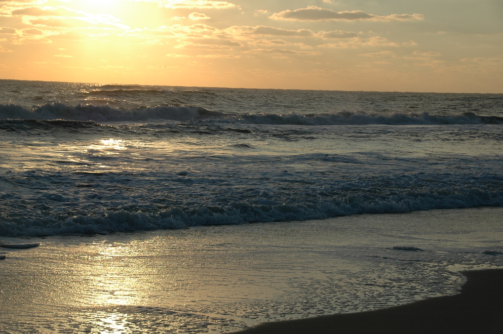
My first view of the ocean, just outside the hotel where I stayed.
The hotel was Surf Side in Nags Head, which is right on the ocean side of the island, as you can see.
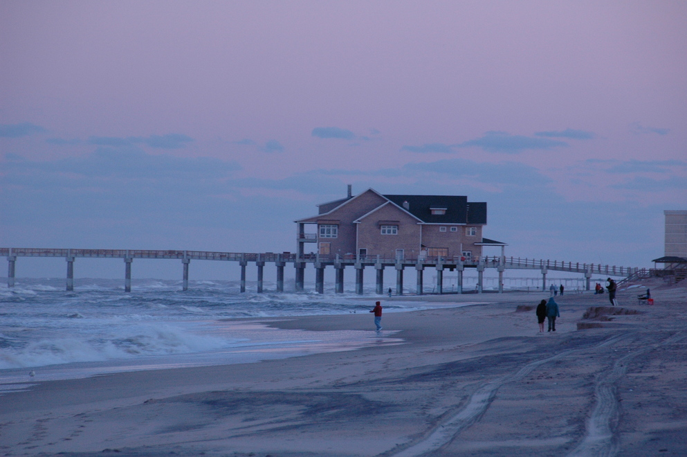
This place and pier was visible from the hotel as well; I never did get so far down as it, though. I got down to the sand-bluff you can see that looks like mid-way in that photo but the view, possibly due to curving coastline, is deceptive.
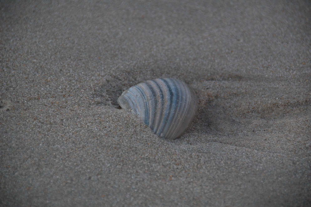
Obligitory surf, shells, and footprints here!
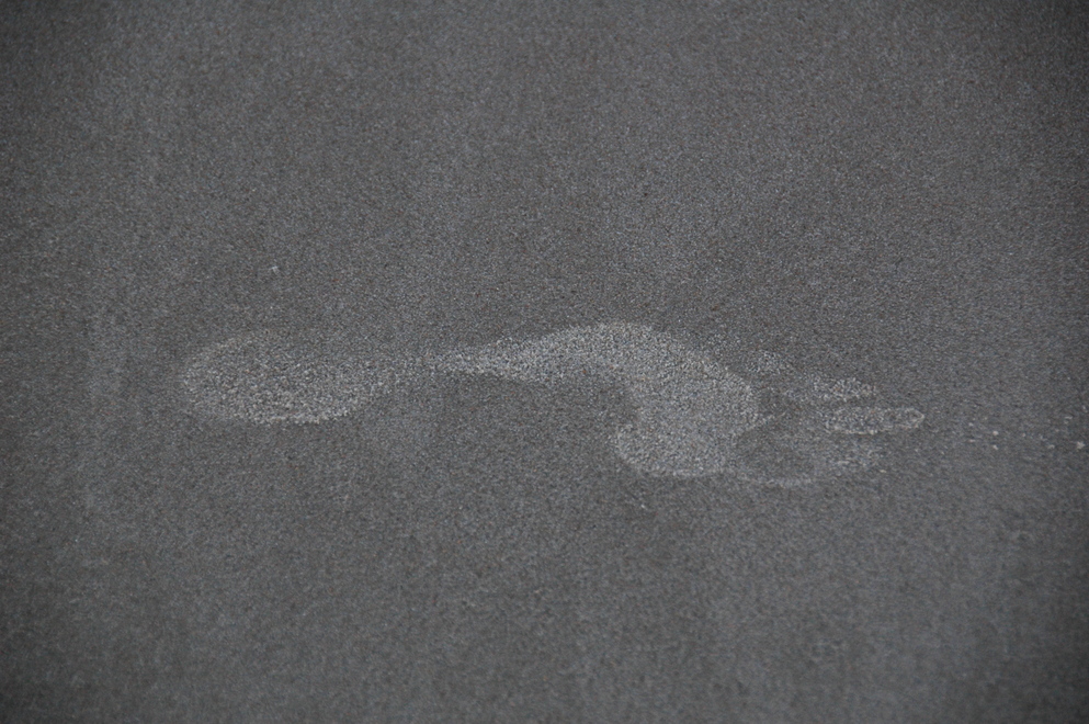
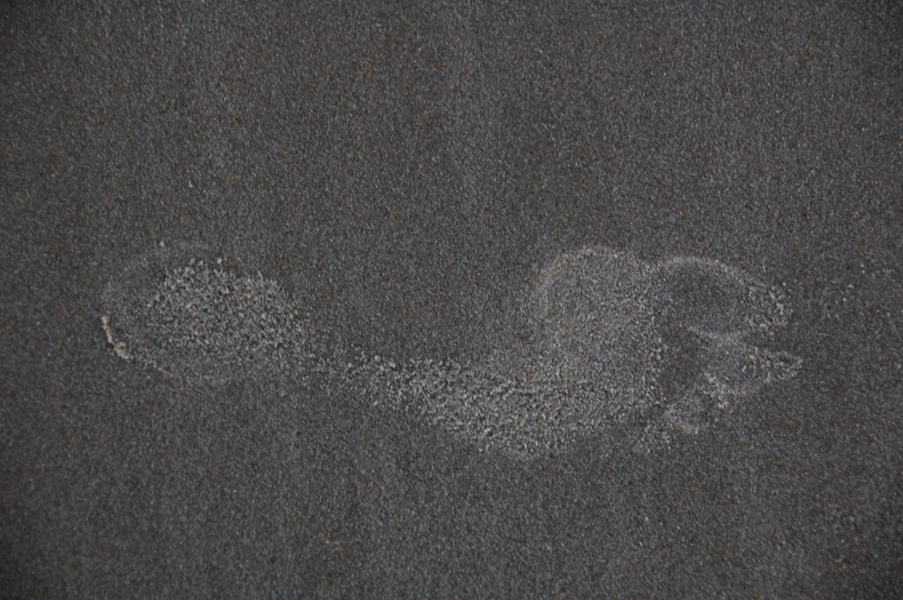
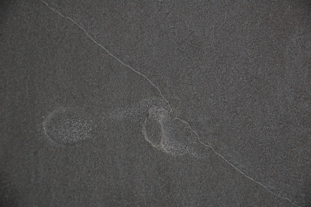
I really like how the last one has been partially erased by the surf.
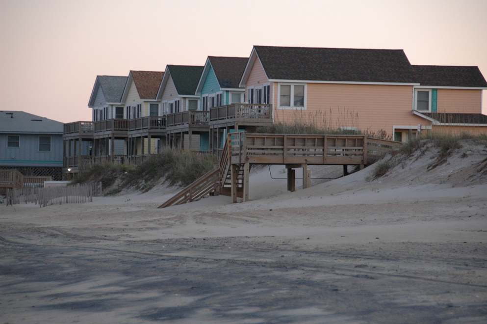
Lots of beach houses there, of course, and many are rather colorful. Most have names, usually rather corny.
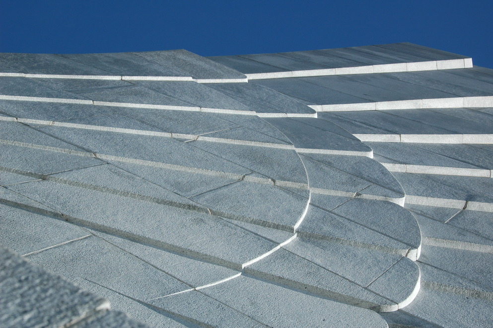
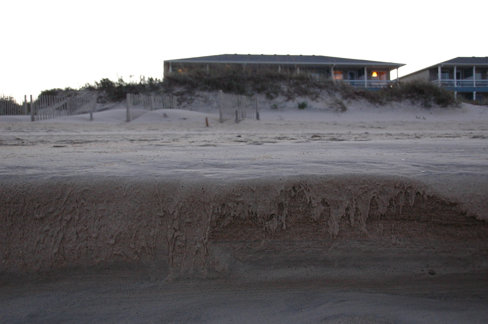
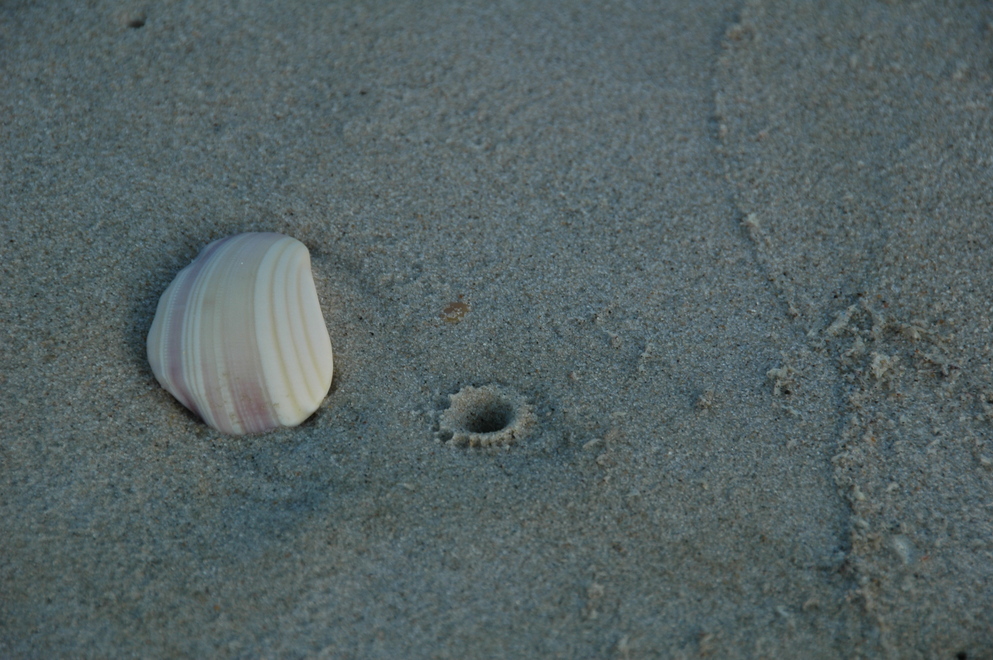
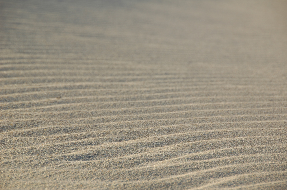
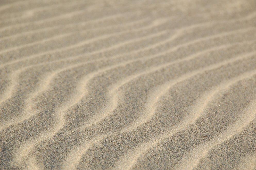
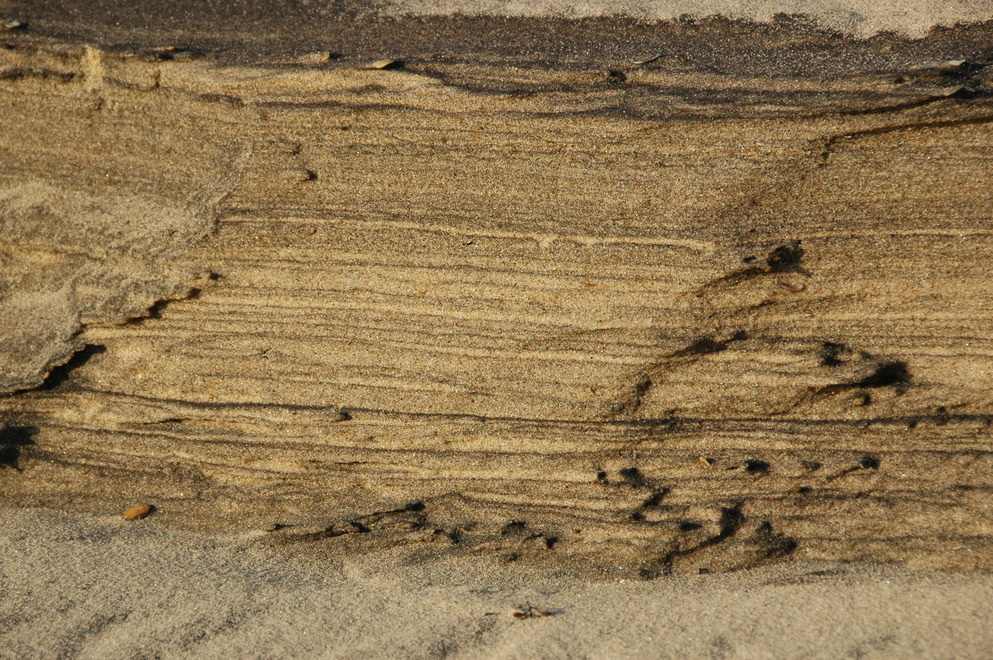
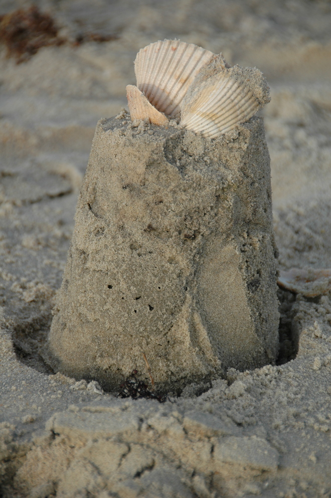
I'd never seen sand do this before.
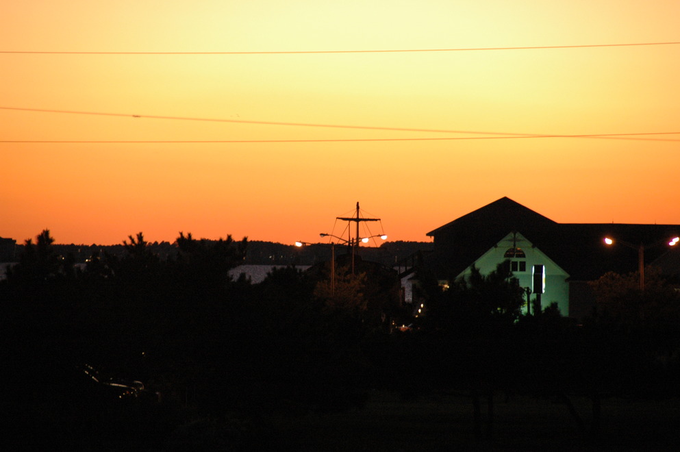
Watching the sunset over the rest of Bodie Island. The water you see is Roanoke Sound and the land mass beyond that is Roanoke Island (location of The Lost Colony many of us learned about in history class.) Croatan Sound and and the mainland of North Carolina are beyond that but not visible due to the earth's curvature - the nearest point of the mainland is nearly 9 miles (or 14 km) away.
As often, when presented with the opportunity to do some night-time, long exposure work, I took it!
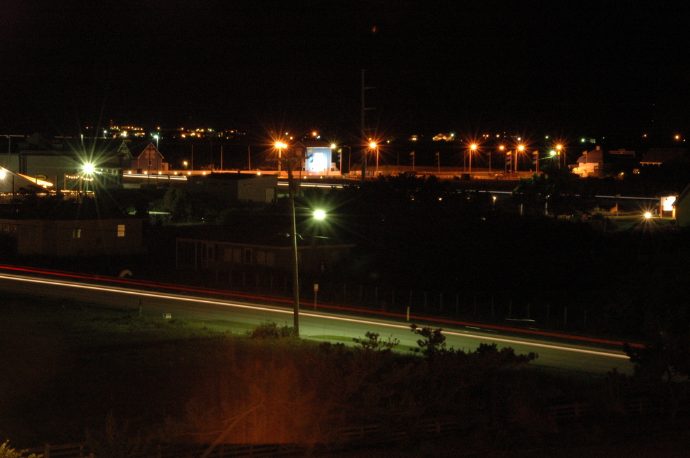
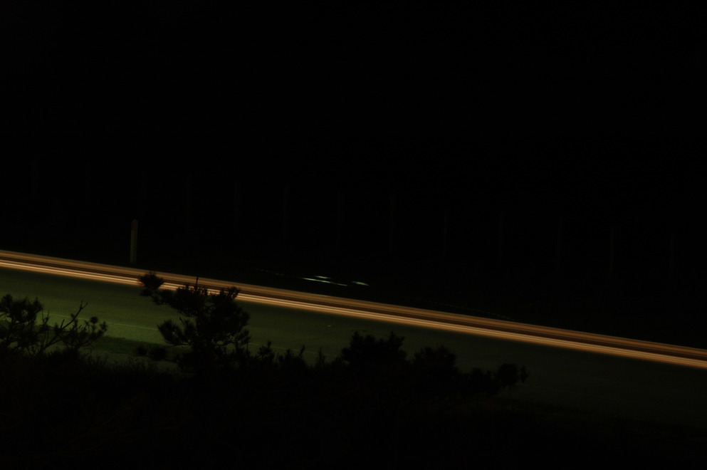
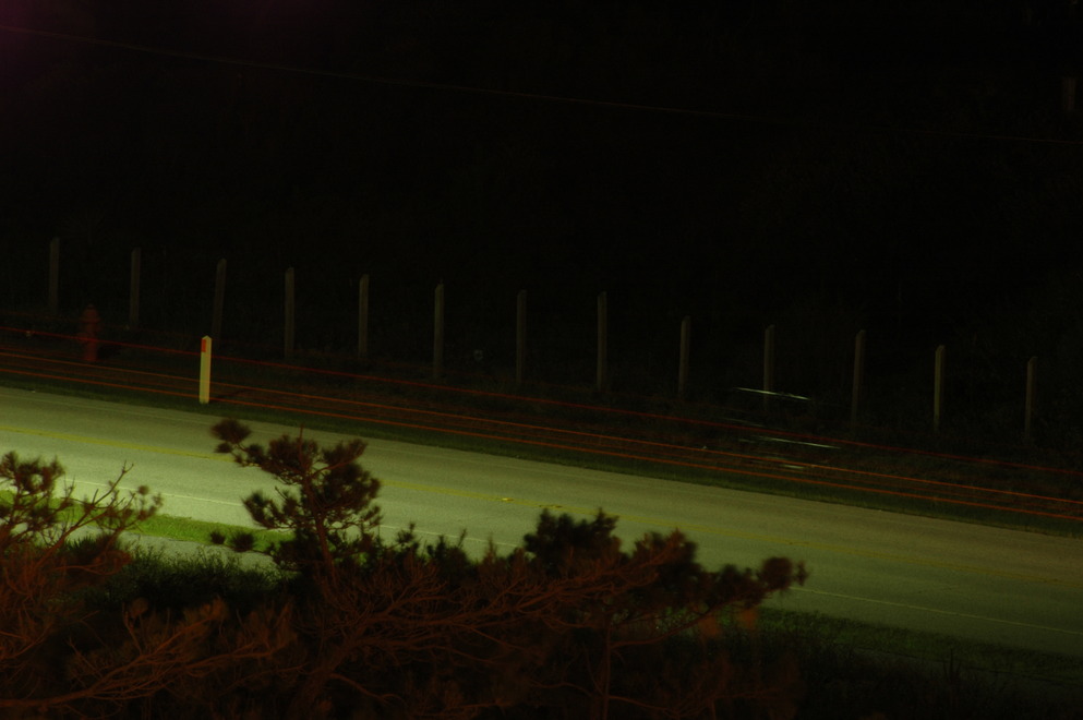
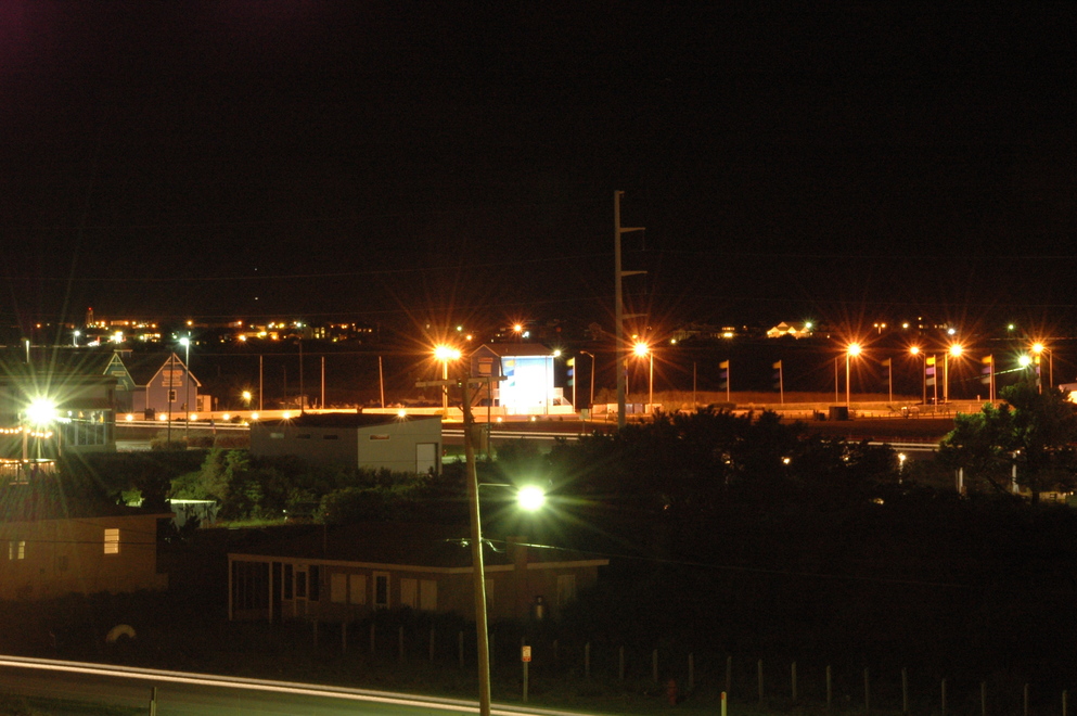
All of these were shot using the bulb shutter setting on my camera and a wireless release, guess-timate timed, ranging from 14 seconds to over 1.5 minutes.
Saturday:
This was my full day there, so I decided to head south. I made a stop just after sunrise somewhere in the Cape Hatteras National Seashore; I cannot recall if I was still on Bodie (pronounced "body") island or if I had crossed Oregon Inlet to Hatteras yet. Either way, it was a great stop in a desolate place.
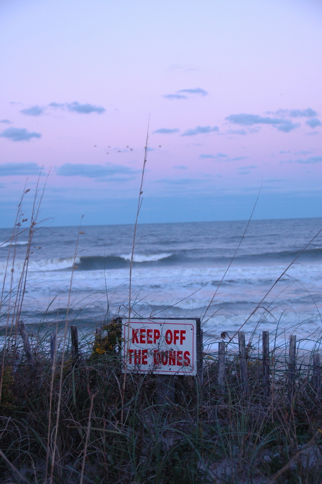
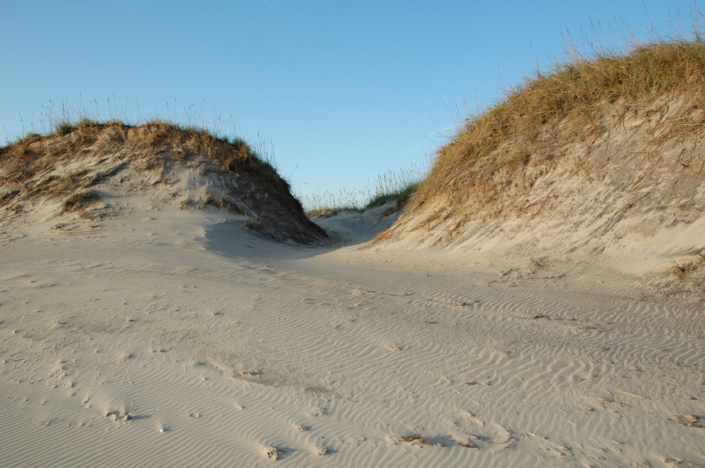
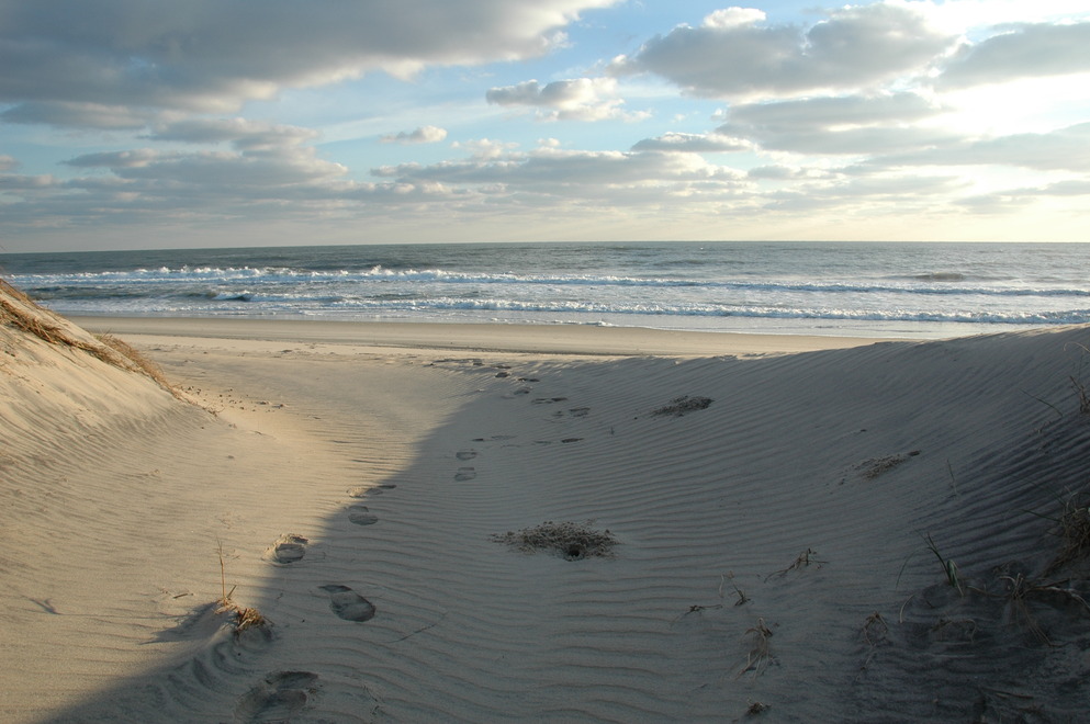
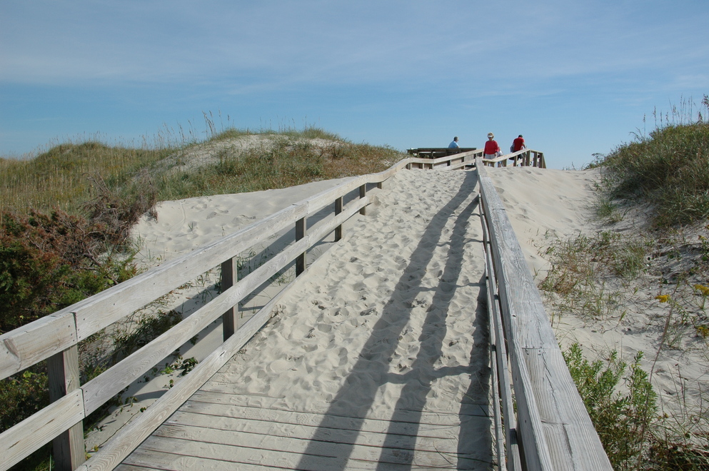
Through the dunes!
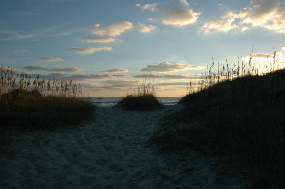
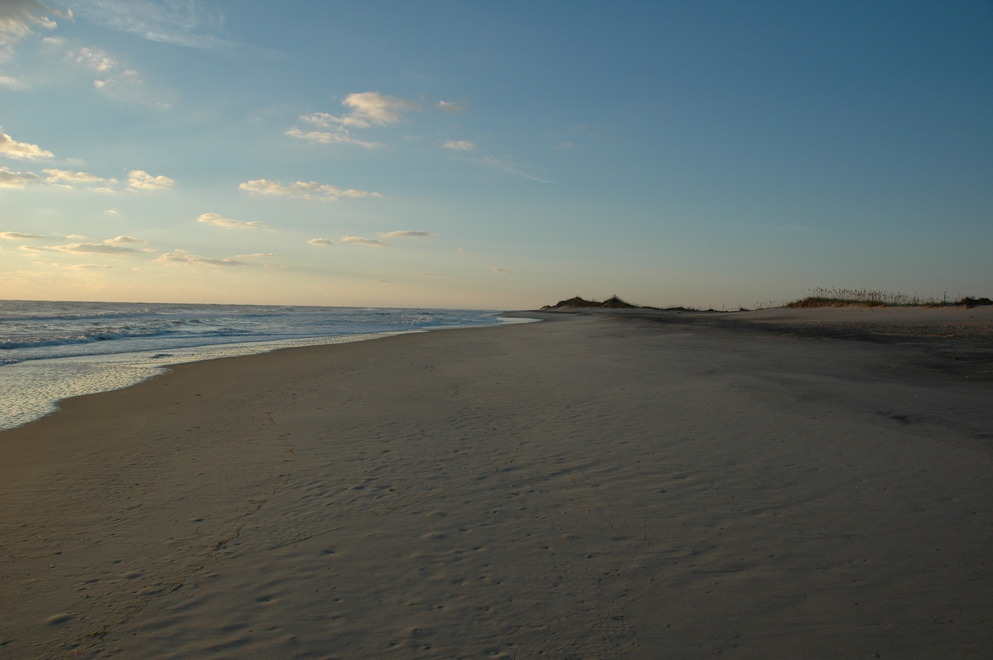
I spent about an hour on that beach just enjoying the beauty of a place where there is little sign of humans.
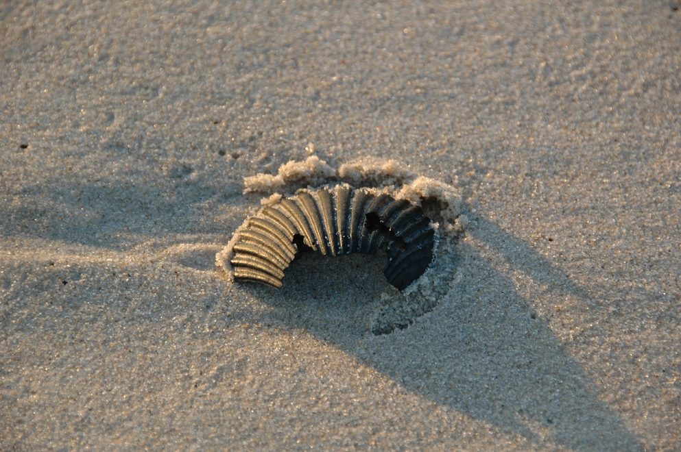
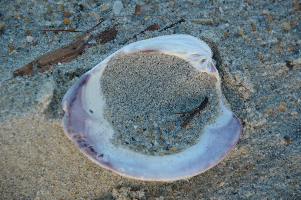
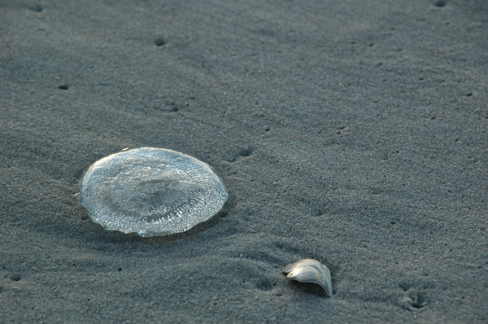
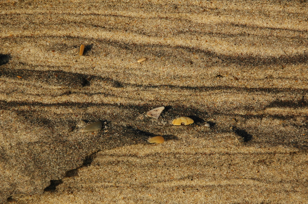
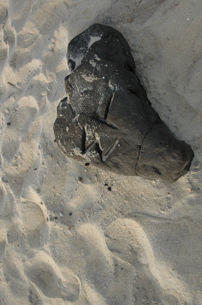
The last was a very interesting bit of shell I periodically saw; larger ones would be sufficiently strong they didn't easily break so instead have been worn by the waves as a river wears the stones in its bead. This was clearly a very large shell as it was at least 3/8" thick. I'm pretty sure the previous is a marooned jellyfish, of which there were a few.
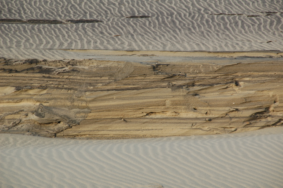
I found this erosion feature more than once but this was the only time I saw the shells embedded in it.
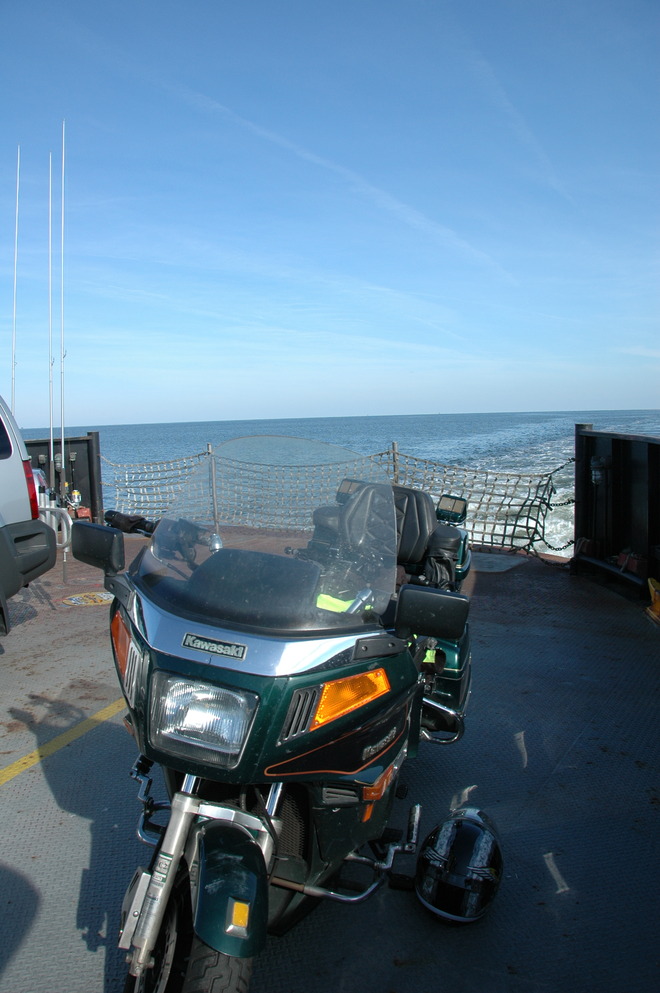
I stopped at Orange Blossom Bakery & Cafe in Buxton (where Hatteras Lighthouse is actually located) and had an Apple Ugly. Following that, it was on to Ocracoke. Ocracoke is a bit interesting in this regard as there's a state highway on the island (NC-12) running more than a dozen miles, but isn't directly accessible overland; only by air or water. Three ferries serve the island for automotive traffic; two take over two hours each way while the one I took takes about 45 minutes. NC-12 has three segments, with Ocracoke being the middle of the two, running within Pamlico Sound.
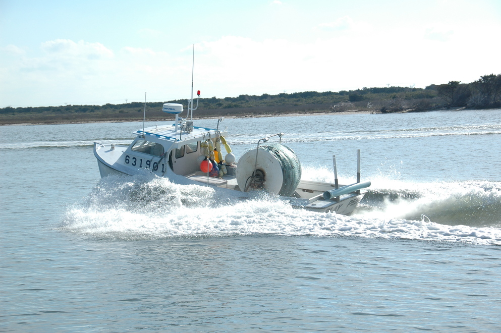
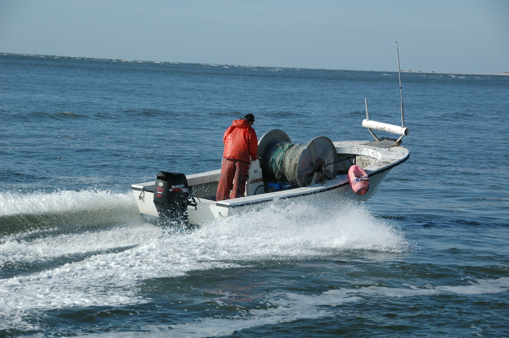
In the morning, many workboats are going about their business in Pamlico Sound.
My real reason for wanting to visit Ocracoke was the lighthouse, but when I got to the village I decided to visit the visitor's center and the small museum there. Both are located adjacent to the terminal for the Cedar Island and Swan Quarter ferries. The museum presented some interesting history of the island and, thanks to the person at the visitor's center, I learned of the general store which was a good place to stop.
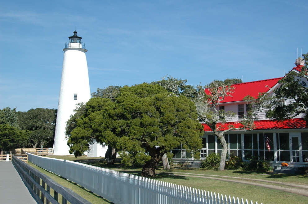
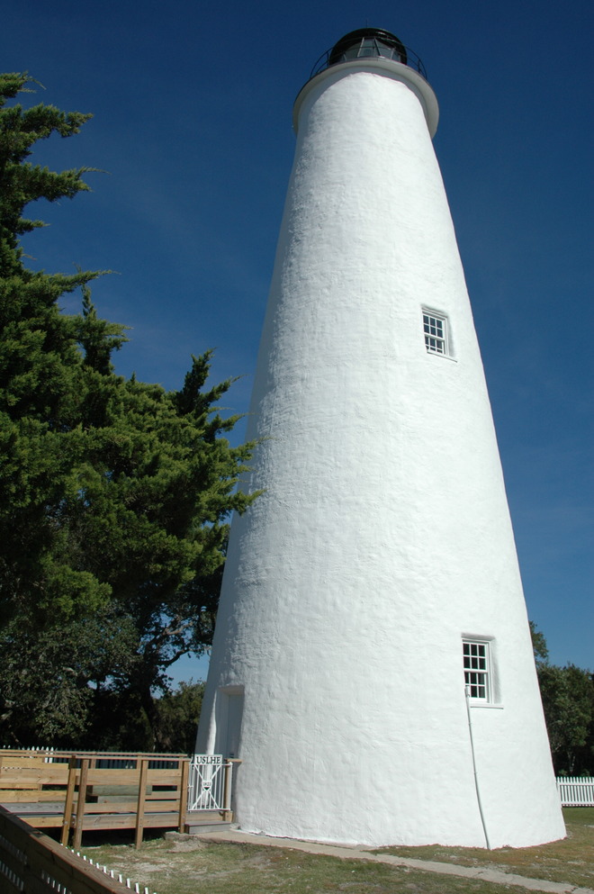
This is maintained as a harbor light, so emits a constant white light, having no characteristics (pattern of light/dark periods and durations.) There was also a dead horseshoe crab there, leaving me to wonder how it got there as it was fairly far inland.
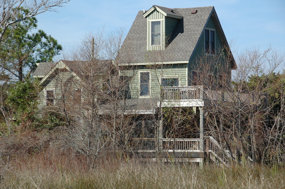
There's also a rental house next door that I thought looked cool:
Lunch was a blackened Drum sandwich at a place called SMacnally's on the dock of the Ocracoke harbor marina. They were out of several things when I was there as it was their last day of business for the year. Following that, I ventured to the beach.
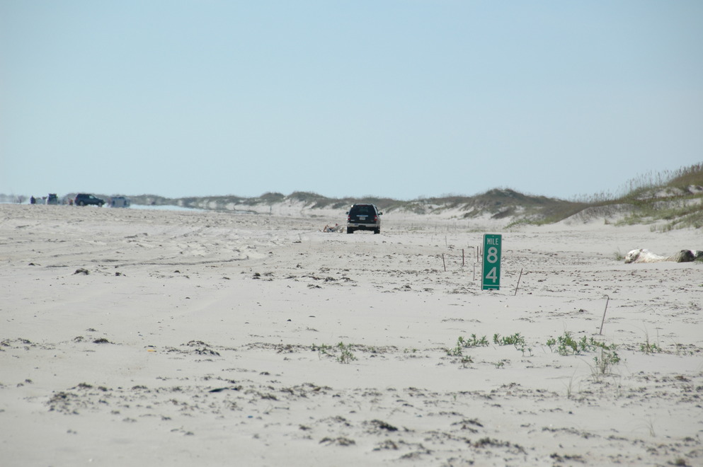
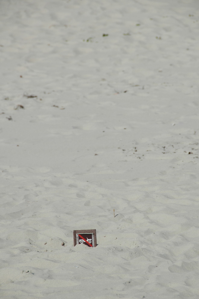
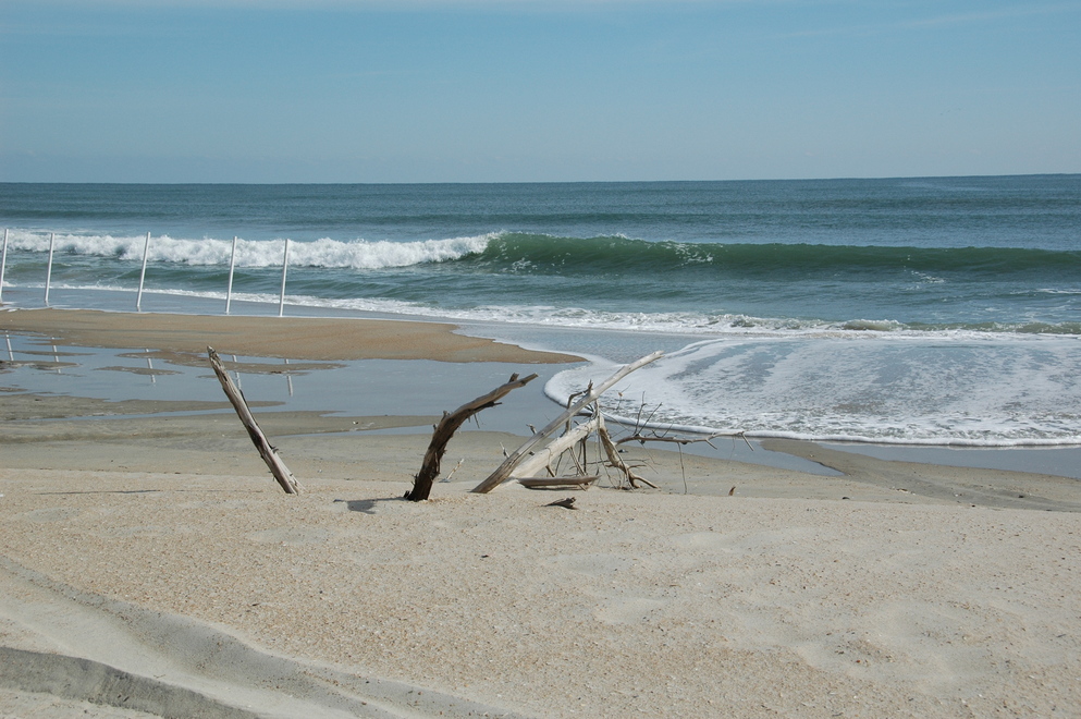
I love the sand movement; the mile and the no off-road vehicle signs are on posts several feet tall. The white tubes in the driftwood photo are fishing pole holders used by two men fishing there (their truck was parked on the beach just to the left of that photo.)
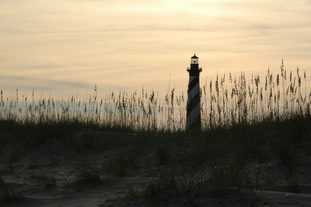
Next, Hatteras Lighhouse, seen here looking out of the keeper's duplex, which is maintained as a museum.
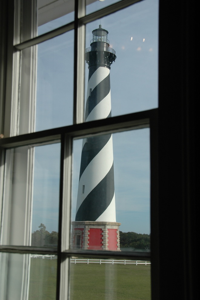
This lighthouse has been at this location for about eleven years; it was moved over 2,900 feet in 1999 as the ocean was imperiled by the by the Atlantic. A ring of foundation stones remains at the original location, engraved with the names of the light's various keepers and their years.
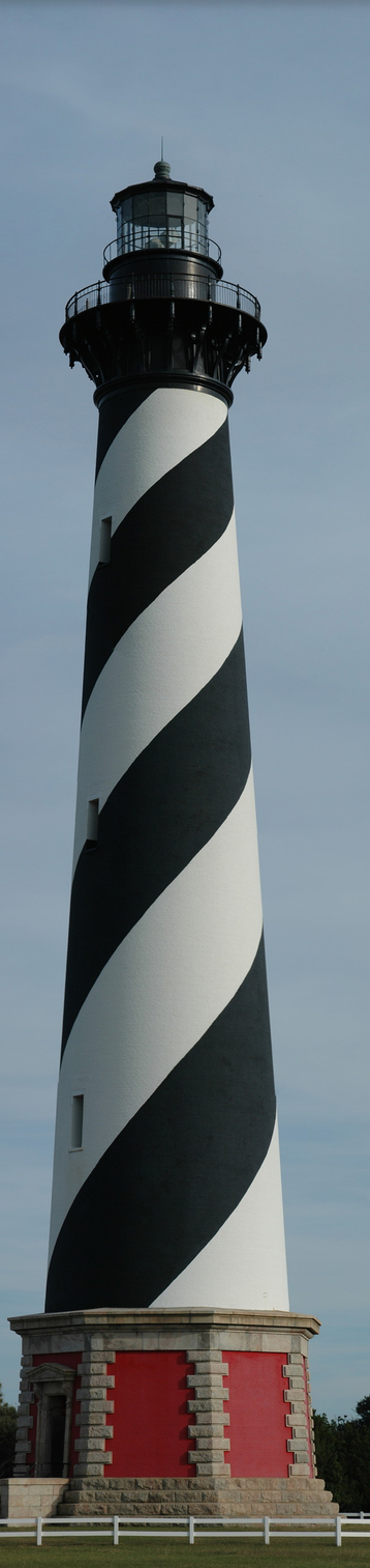
Also, I took a bunch of photos of the lighthouse which are stitched together for this image which is about 25% of the full image size. I did this hand-held; I really need to invest in a tripod mount to assist with this.
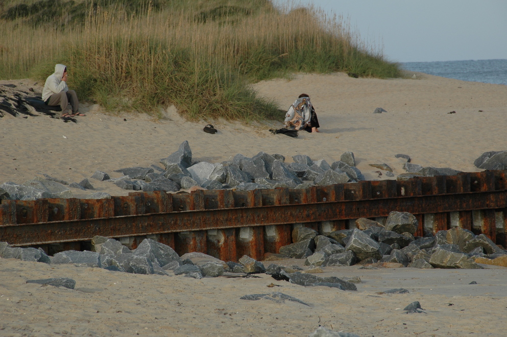
There's a great deal of non-native stone and tarmac at this location, the later looks quite odd now that it's been sea weathered.
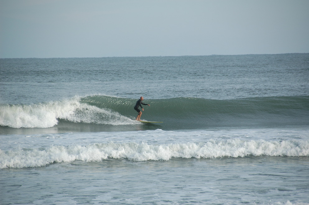
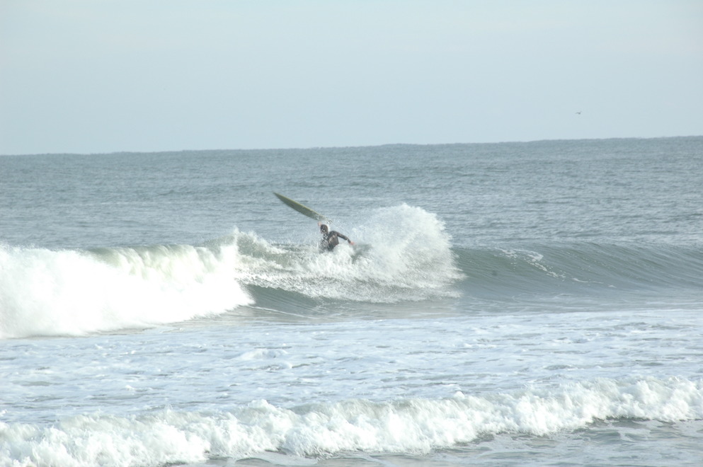
The ocean is actually quite nice here; there's still a parking area and various people enjoying watersports, the beach, fishing...
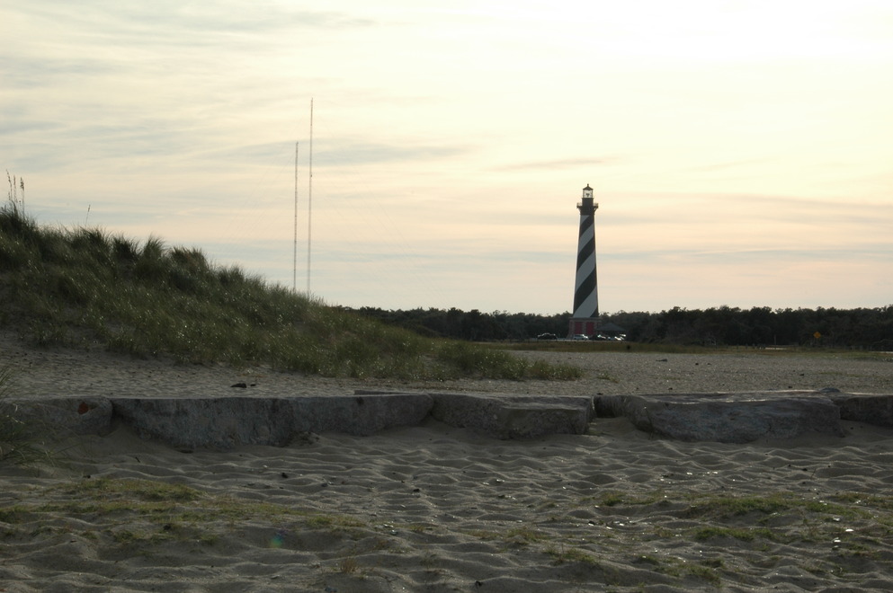
Looking back at Hatteras from the beach at its original location.
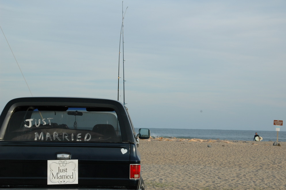
This made me squee a bit:
Saturday ended with me having dinner at Dolphin Den in Avon, NC (on Hatteras,) and then back to Nags Head. The trip back was after dark and, let me say, there is no place I've ever been that feels more like nowhere than NC 12 through that area. Also, there's nothing quite like suddenly seeing a white spot on the highway (sand) when you're on a motorcycle. The only thing I saw out there were a couple dozen other vehicles and two deer. There were strong cross winds coming from the Atlantic. I was very worried about it on the bridge but it turned out the solid sides of the bridge largely shielded me from the wind.
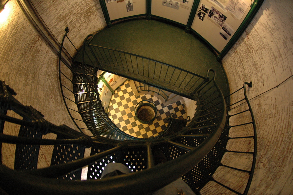
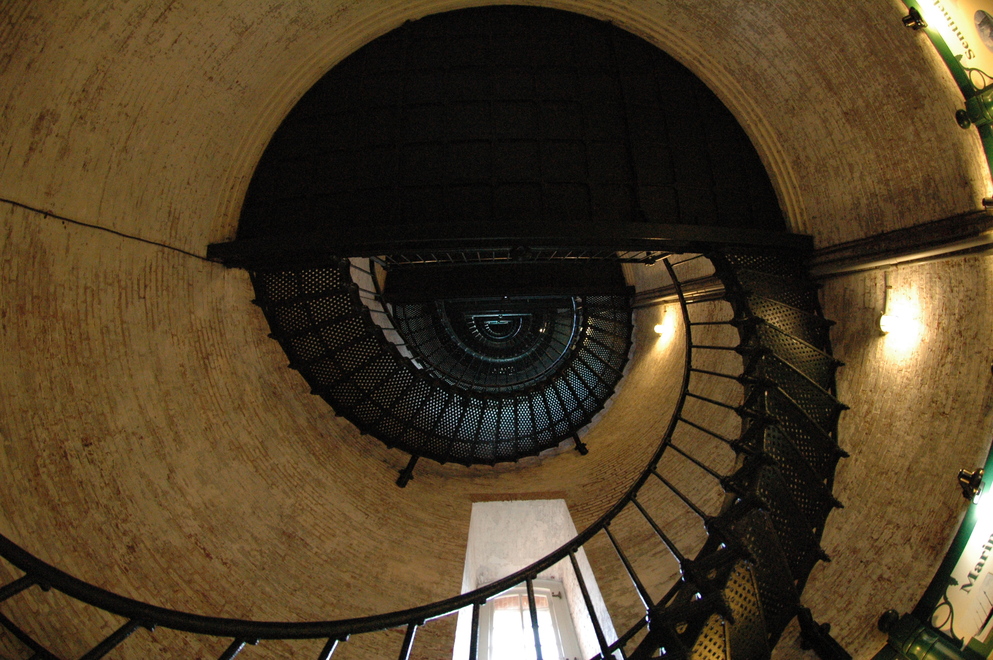
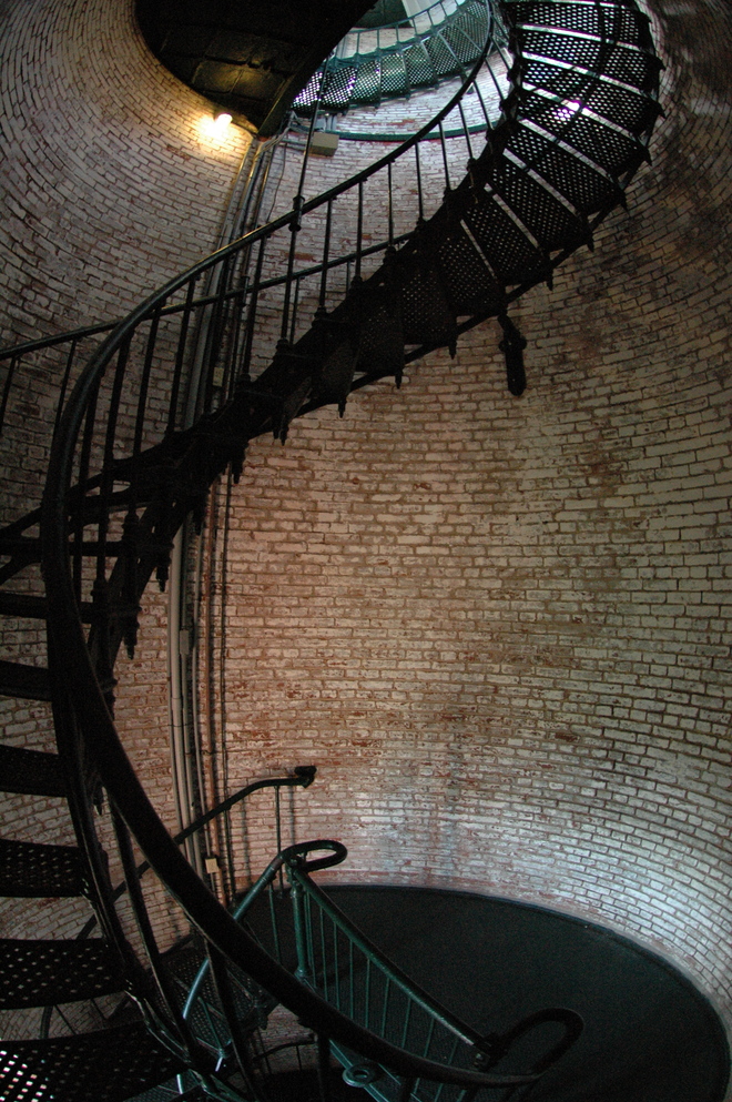
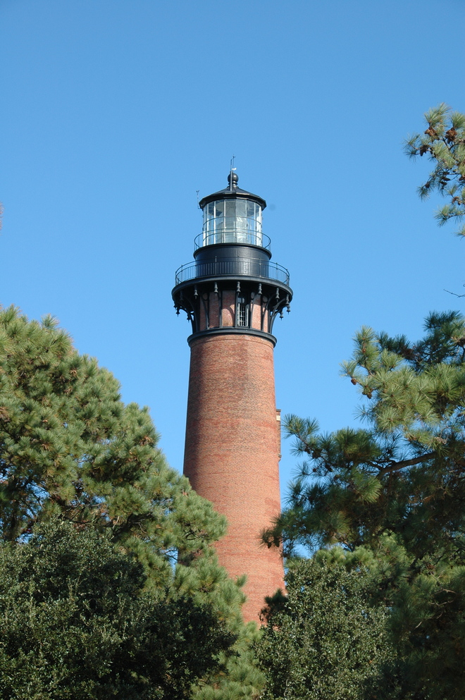
Sunday after check-out I got breakfast at Dunes then up to Carolla to see Carrituck Lighthouse. This lighthouse was open for climbing and I couldn't say "no" to that!
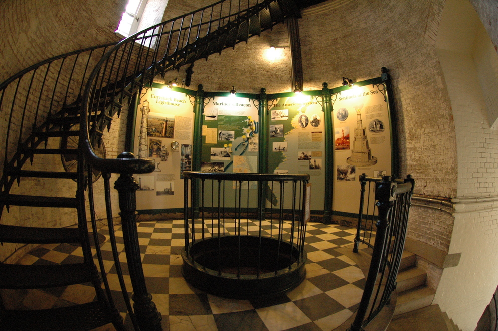
The base and first few landings have informational displays. The fenced hole in the center is the light's weight pit; originally, the light source for this and other lights was an oil lamp and the lens was rotated by means of a clockwork powered by weights that would descend into that pit. The lug you can see on the edge in the center of the tower on the landing below is one of the guides for those weights.
My friend
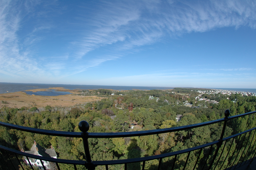
The view from the top was simply spectacular. Left to right: Albemarle Sound, Carolla, NC, and the Atlantic Ocean.
One really cool feature for this lighthouse is one few probably notice:
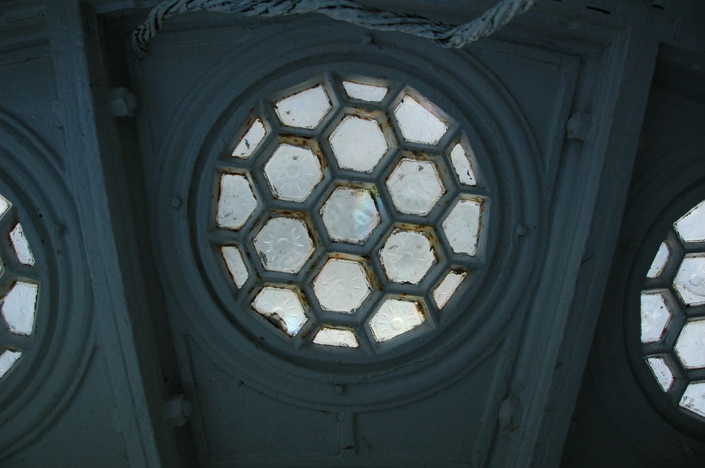
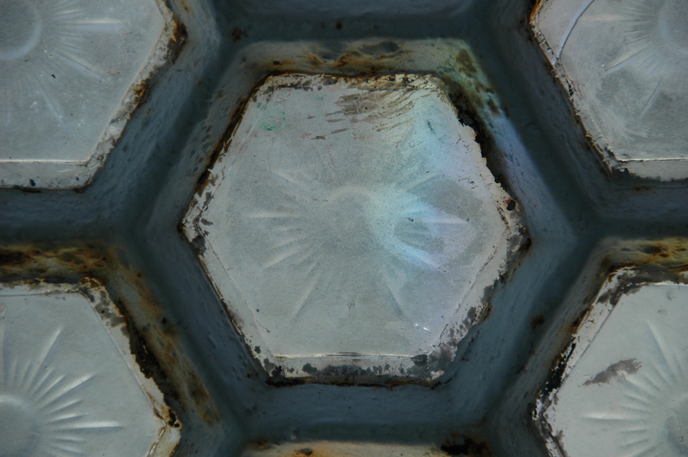
The second photo is a close up of one pane in the first. These are over the highest level the public is permitted to go and are located in the floor of the lantern room above.
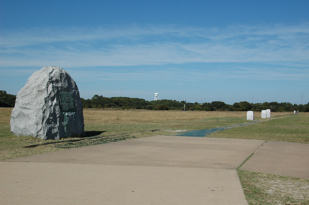
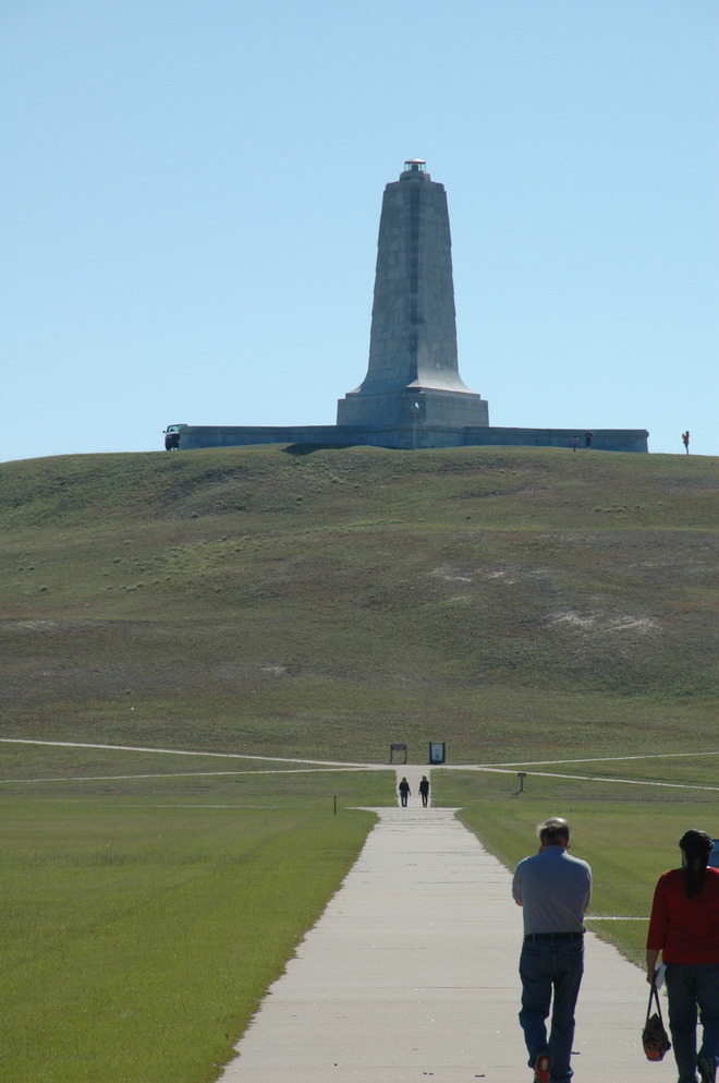
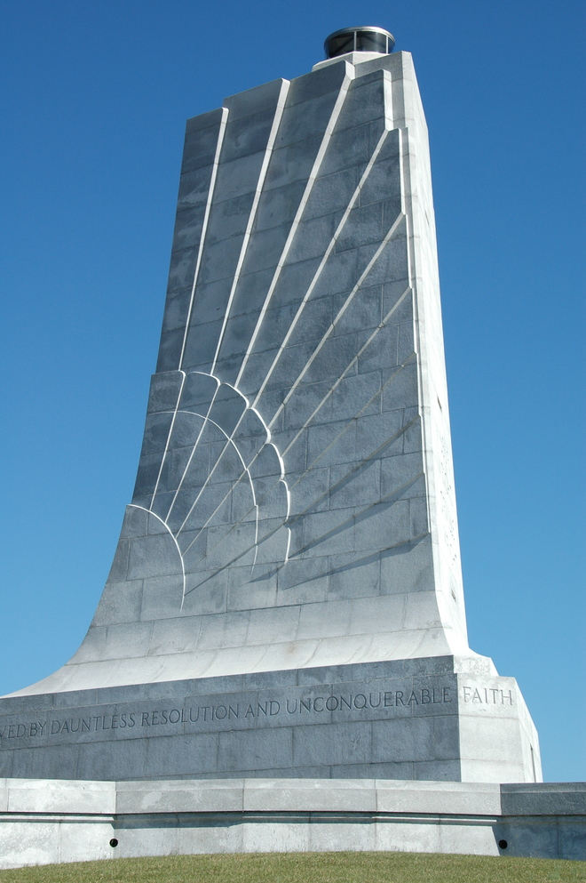
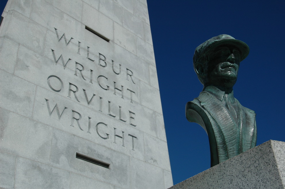
Finally, I stopped by the Wright Brothers Memorial in Kill Devil Hills (their flights weren't actually in Kitty Hawk.) Two memorials exist here: a set of monoliths for the first powered flights in 1904, and the hill, now named Kill Devil Hill, where they performed unpowered glider flights in the years before that.
The large monument is the launch point of their flights and there's a replica rail adjacent to it. The four stones to the right are, in order, the four flights made (the first three were between 100 and 200 feet, the fourth over 800 and the marker is to the extreme right.)